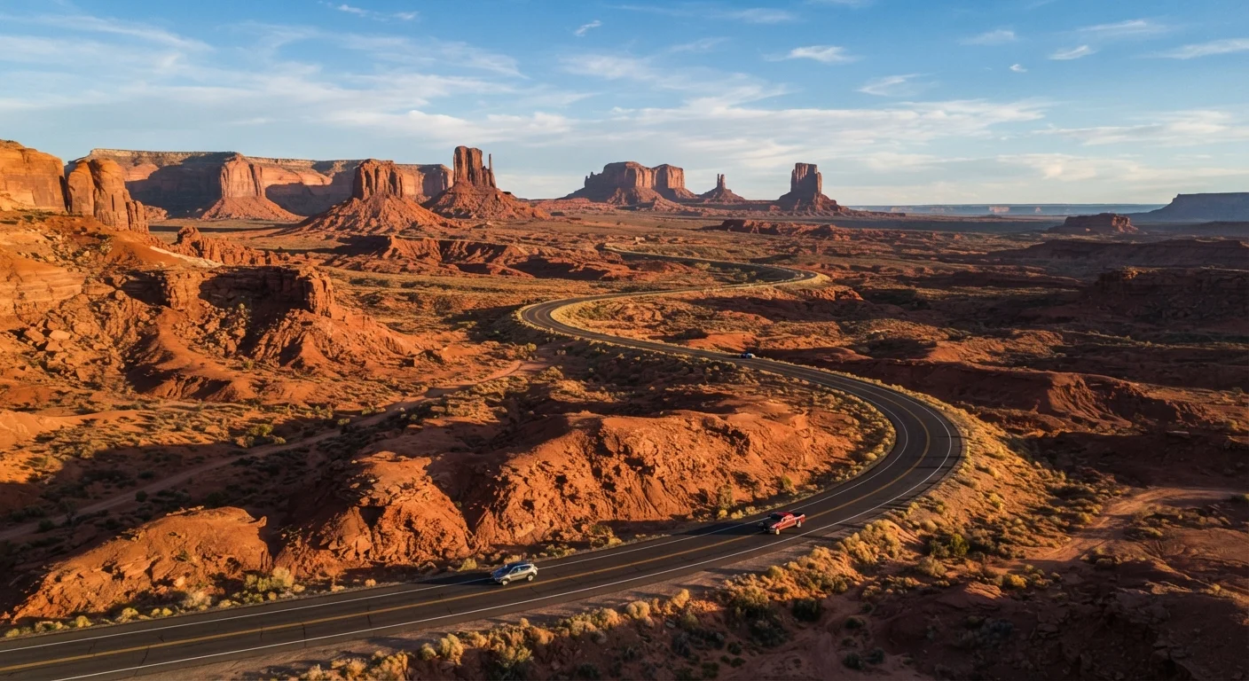
Why the Route You Choose Defines the Trip
Not all American road trips are created equal. The highway you pick shapes everything — the food you eat, the landscapes you wake up to, the stories you bring home. With thousands of miles of designated scenic byways, historic corridors, and coastal highways threading across the country, narrowing down your options takes a little strategy.
Whether you're a first-timer or a seasoned road-tripper looking to check another legendary route off the list, understanding what each road actually offers — beyond the Instagram highlights — helps you set realistic expectations and pack accordingly. For a broader look at how scenic detours stack up against straight-shot interstates, see our guide on coastal versus inland driving trade-offs.
Below, we've broken down seven of America's most celebrated driving routes — what distinguishes each one, how long it realistically takes, and what kind of traveler will get the most out of it.
Route 66 — The Mother Road
Approximate drive: 2,400 miles, Chicago to Santa Monica, CA — typically 10–14 days to do it justice.
No route carries more mythology per mile than Route 66. Stretching from Chicago's Lake Shore Drive to the Santa Monica Pier, it passes through eight states and decades of American history. The appeal isn't speed — it's depth. Diners that have been serving pie since the 1940s, painted desert vistas in Arizona, and the neon-lit nostalgia of Tucumcari, New Mexico are all part of the package.
Be aware that large sections of the original Route 66 alignment are now bypassed by I-40 and require deliberate navigation to find. A dedicated paper map or a Route 66-specific GPS guide is genuinely useful here. Spring and fall are the most comfortable seasons; summer through the Mojave Desert can be punishing.
Route 66 rewards travelers who slow down and let the history surface on its own terms.
Pacific Coast Highway (CA-1) — Cliffs, Surf, and Sea Otters
Approximate drive: 650 miles, San Francisco to Los Angeles — allow 3–5 days for a meaningful experience.
CA-1 is arguably the most visually dramatic coastal highway in the country. The stretch between Carmel and San Simeon, hugging the cliffs of Big Sur, delivers overlooks that routinely stop drivers mid-conversation. Elephant seals haul out on beaches near San Simeon. Hearst Castle looms on a hilltop above the highway.
Landslides periodically close segments of Big Sur — check Caltrans road conditions before departing, not after. Driving south from San Francisco puts the scenery on the ocean side of the car for most of the journey. Lodging in Big Sur books up fast in summer; reserving several months in advance is strongly advisable.
The Big Sur stretch of CA-1 is one of the most photographed — and genuinely breathtaking — drives in the US.
Blue Ridge Parkway — America's Favorite Drive
Approximate drive: 469 miles, Shenandoah National Park, VA to Cherokee, NC — most visitors spend 3–7 days depending on hiking stops.
Managed by the National Park Service and free to drive, the Blue Ridge Parkway threads along the spine of the Appalachian Mountains through Virginia and North Carolina. The payoff is a nearly unbroken canopy of forest, ridge-top vistas, and access to some of the East's most rewarding hiking. Fall foliage season (mid-October to early November) draws enormous crowds — for good reason.
The parkway has no commercial development along its length by design, which means fuel and food stops require exiting at designated access roads. Plan fuel stops using the official parkway milepost guide. The road is closed in sections during winter ice events, which can be abrupt at elevation.
The Blue Ridge Parkway's no-commercial-development rule is what keeps it so remarkably unspoiled.
Going-to-the-Sun Road — Montana's Alpine Marvel
Approximate drive: 50 miles across Glacier National Park — plan a full day with stops, plus required timed-entry reservations.
Compact but extraordinary, Going-to-the-Sun Road crosses the Continental Divide at Logan Pass (6,646 feet) and offers scenery that rivals anything in the Alps. Glaciers, waterfalls, mountain goats on the roadway, and wildflower meadows make this one of the most concentrated stretches of natural drama in North America.
The road is typically open from mid-June to mid-October, weather permitting. Glacier National Park now uses a timed-entry reservation system for vehicles during peak season — check the National Park Service website well in advance. Vehicles over 21 feet in length or 8 feet in width are restricted on certain sections.
Fifty miles rarely deliver this much scenery — Going-to-the-Sun Road is a genuine bucket-list drive.
The Great River Road — Following the Mississippi
Approximate drive: Roughly 3,000 miles from Minnesota to Louisiana — most travelers drive segments rather than the full length.
The Great River Road National Scenic Byway traces the Mississippi River from its headwaters at Lake Itasca, Minnesota, to the Gulf of Mexico. It's less famous than Route 66 but arguably richer in American history, passing through Civil War sites, blues music heritage towns in the Delta, and the antebellum architecture of Natchez, Mississippi.
The route passes through ten states and is best approached as a series of regional segments. The Iowa-Wisconsin stretch offers dramatic bluffs and river towns. The Louisiana section introduces Cajun culture and cypress-draped bayou scenery. Understanding the different types of road trip stops helps calibrate what to prioritize along a route this long.
No route in America packs in more layers of cultural history than the Great River Road.
US-50 — The Loneliest Road in America
Approximate drive: 411 miles across Nevada alone — typically 2 days across the state, longer if exploring the full corridor.
Life magazine once called US-50 through Nevada "the loneliest road in America," which Nevada's tourism board promptly turned into a badge of honor. It's a fair description. The highway crosses a succession of mountain ranges and dry valleys with almost no services between towns. That isolation is exactly the point for travelers who want the opposite of Interstate highway sameness.
Austin, Eureka, and Ely are the main fuel and food stops across Nevada. Cell service is minimal; a physical map and a full tank departing each town is non-negotiable. The route rewards slow travel, stargazing stops, and anyone willing to accept genuine remoteness as part of the experience.
US-50's emptiness isn't a flaw — for the right traveler, it's the entire appeal.
Overseas Highway (US-1) — Driving Into the Gulf Stream
Approximate drive: 113 miles from Florida City to Key West — a half-day drive, or a leisurely 2–3 day island-hop.
The Overseas Highway is unlike any other road in the US: it spends much of its length on bridges over open water, connecting the Florida Keys chain to Key West. The Seven Mile Bridge is the showstopper — on a clear day the aquamarine water on both sides creates an almost surreal driving experience.
Traffic can bottleneck severely in winter, particularly around Key Largo and Islamorada. Fuel prices in the Keys tend to run higher than mainland Florida. For the most dramatic experience, consider driving the route in both directions — the light and water color shift significantly between morning and afternoon.
Driving the Seven Mile Bridge feels less like a commute and more like skimming across the surface of the Caribbean.
Plan Smart Before You Hit the Road
Match Your Route to Your Timeline
A common mistake is underestimating how long the best stops actually take. Budget at least one buffer day per week of driving — it's almost always used. If your timeline is tight, choosing a shorter, concentrated route like Going-to-the-Sun Road or the Overseas Highway often delivers more satisfaction than rushing a longer corridor.
Every route on this list rewards preparation. Fuel gaps are real on stretches like the lonelier sections of US-50, and seasonal road closures can shut down portions of Going-to-the-Sun Road or the Blue Ridge Parkway with little warning. Always verify current conditions through state DOT websites or the National Park Service before departing.
If you're still in the early stages of mapping your adventure, our road trip planning primer walks through budgeting, route selection, and logistics from the ground up. And since costs have a way of snowballing, it's worth reading up on hidden road trip expenses before you finalize your budget. The right route, prepared for properly, is where the real adventure begins.
Seasonal Closures Are Real
Several routes on this list — including Going-to-the-Sun Road and portions of the Blue Ridge Parkway — close partially or fully during winter months due to snow and ice. Always check current road status with the relevant state DOT or National Park Service before finalizing travel dates. Conditions can change quickly at elevation.